/ MEDIA STATEMENT / The content on this page is not written by Polity.org.za, but is supplied by third parties. This content does not constitute news reporting by Polity.org.za.
Specialised software to improve geospatial intelligence available to African defence forces will be developed and marketed in a new collaboration between Denel and global geospatial technology leader, Hexagon.
Denel Integrated Systems and Maritime will team up with Hexagon Geospatial to develop defence and security solutions that will meet the growing needs of clients in Africa.
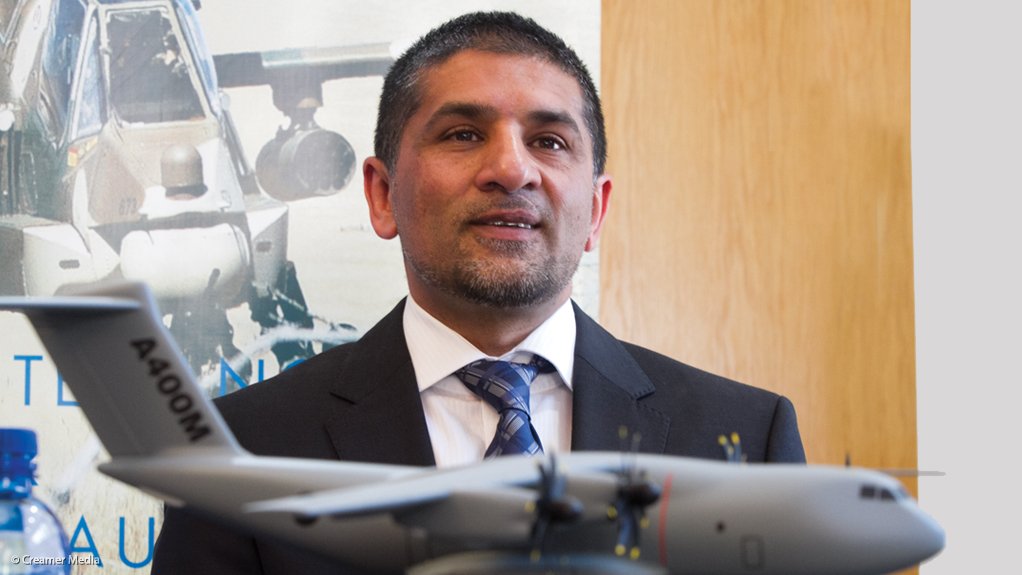
“We are combining the reputation, marketing network and support capabilities of Denel with the specialist technology and continued research and development capacities of Hexagon Geospatial and Geo Data Design,” says Ismail Dockrat the CEO of Denel ISM.
“Through this collaboration we intend to bring cutting edge geospatial solutions to the local and international security arenas,” he says.
Denel ISM was established in 2014 to respond to the needs identified in the Defence Review for South Africa to strengthen its capabilities in the maritime environment and in specialised areas such as integrated systems, intelligence, cyber security and cyber-warfare.
The new partnership will leverage the shared experience and capabilities of the partners to develop new IT solutions and geospatial software systems.
“We are excited to work with Denel and Geo Data Design to fulfil the requirements of mission critical projects in Africa,” says Claudio Mingrino, Vice President Global Strategic Partnerships at Hexagon Geospatial.
Hexagon Geospatial is part of Hexagon, a leading global provider of information technologies that drive quality and productivity improvements across geospatial and industrial enterprise applications. Hexagon Geospatial enables customers to easily transform their data into actionable information, shortening the lifecycle from the moment of change to action. Hexagon Geospatial’s solutions assist intelligence, military, and defence organizations world-wide.
In South Africa, Hexagon Geospatial’s partner Geo Data Design works directly with units in the SANDF, including the Directorate Geospatial Information, the Joint Air Reconnaissance Intelligence Centre (JARIC) and the SA Army Engineer Formation.
The services provided are geospatial software systems and workflow training for intelligence creation at the SA Defence Intelligence College training facilities. Working with Denel ISM, Hexagon Geospatial and Geo Data Design will leverage their shared expertise to develop new IT solutions.
Issued by Denel Group
EMAIL THIS ARTICLE SAVE THIS ARTICLE
To subscribe email subscriptions@creamermedia.co.za or click here
To advertise email advertising@creamermedia.co.za or click here


